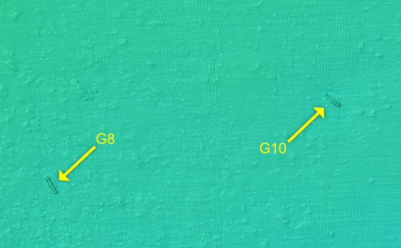
In April 2017 a multibeam sonar survey of the designated historic wrecks in Scilly was undertaken on behalf of Historic England. The wrecks surveyed were Association, Colossus, Tearing Ledge, Bartholomew Ledges and The Wheel Wreck.
Multibeam sonar is a method for mapping the seabed. An array of sound pulses sent from the survey vessel measure the depth of the seabed. This data is linked to an accurate GPS position to produce a quick and accurate 3D map of the seabed and any wreckage lying on it.
This data was used to produce the 3D site plans of the seabed which you see on this website. Find out more about the 3D site plans.